The year is 1971, and as Britain grapples with decimalisation and rising inflation, uncertainty settles heavily over a country caught between the old and the new. Steam‑driven coasters still heave into harbours, while larger and more efficient diesel‑engined cargo ships glide past, heralding an era of bigger, quieter and faster maritime transport.
On the quaysides, traditional rhythms of break‑bulk cargo handling fade as container cranes dominate the skylines, loading vessels more quickly with fewer hands, signalling a more mechanised approach to freight.
Out in the English Channel – one of the busiest shipping lanes in the world – this transition proves deadly.
Danger at sea
Demand for cheaper goods delivered faster grows, vessel traffic intensifies, but navigational aids lag perilously behind. Crews rely on paper charts, magnetic compasses and early hyperbolic radio‑navigation systems such as the Decca Navigator, far less precise than today’s modern GPS and AIS systems.
Travelling through thick fog on 11 January 1971, the Panamanian tanker Texaco Caribbean is on a ballast voyage between the Netherlands and Trinidad when it encounters 12,000‑tonne Peruvian freighter Paracas, whose crew opts to shorten their passage by ignoring recommended routes.
The collision triggers a devastating explosion in which more than 600 tonnes of bunker fuel are spilled, eight sailors are killed and 22 are rescued. The damaged Paracas is towed to Hamburg, while Texaco Caribbean’s visible wreck settles stricken 13 km off Dover.
Compounding losses at sea
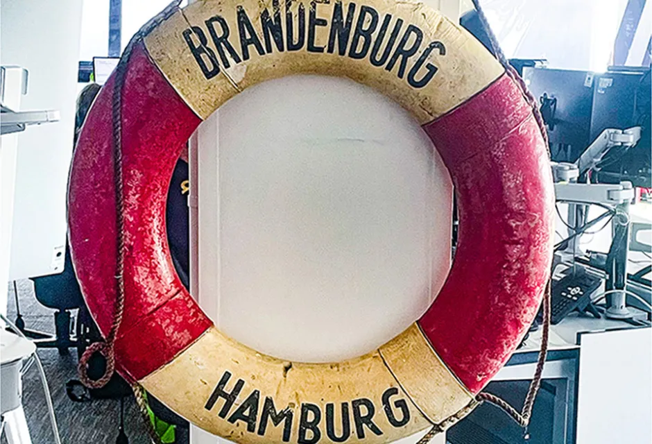
Despite navigational warnings and lights placed on the Texaco Caribbean’s hull, the very next day German freighter Brandenburg strikes the wreck’s stern head‑on. RNLI lifeboats struggle to reach the rapidly sinking vessel; 11 of the ship’s 32 crew are rescued by nearby fishing boats. Seven bodies are later recovered, with 14 sailors unaccounted for.
Wreck marking is strengthened with a lightship and additional buoys, yet on 27 February the newly laid Greek motor vessel Niki ignores navigational warnings while en route from Dunkirk to Alexandria, colliding with the cluster of wrecks.
A nearby tanker radios the casualty vessel, but it is too late. Despite extensive searches by HM Coastguard, RNLI lifeboats and the RAF, all 21 hands are lost.
Over the next 18 months, a large‑scale wreck‑removal operation unfolds, involving two lightships and 14 lighted buoys — one of the most complex clearance efforts the Strait had ever seen.
With 64 maritime deaths in four months, Channel traffic becomes a matter of parliamentary urgency. An inquiry highlights poor wreck‑marking, failures in radio communication, vulnerabilities in analogue navigation and the absence of coordinated traffic control.
Turning point: the IMO and mandatory Traffic Separation
Previously, vessels had been free to choose their own routes through the Strait, but after the 1971 disasters, the International Maritime Organization exercised its authority under the International Convention for the Safety of Life at Sea (SOLAS) to accelerate the adoption of a mandatory Traffic Separation Scheme (TSS).
The Organisation also moved to standardise wreck‑marking, improve radar reporting and strengthen UK–France cooperation. Implemented in 1977, the mandatory Traffic Separation Scheme, enforced jointly by HM Coastguard and CROSS Gris‑Nez, stands as a direct legacy of those four catastrophic months in 1971.
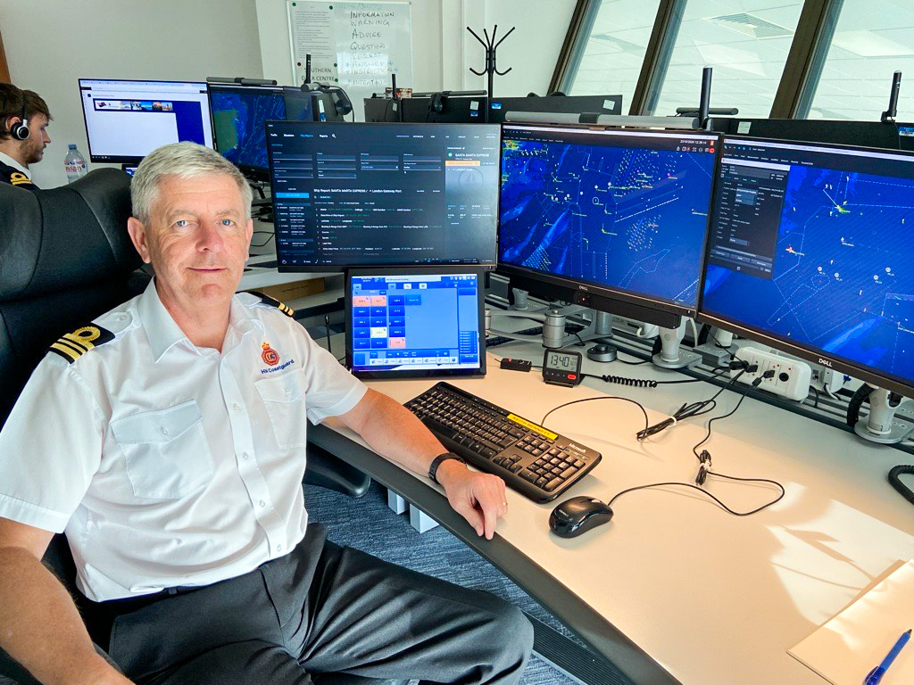
Keith Bennett, Vessel Traffic Services Manager for HM Coastguard, says: “Vessel Traffic Services (VTS) is a cornerstone of maritime safety, crucial for the safe passage of vessels transiting the Dover Strait.
“We work closely with counterparts in France to ensure that information is shared promptly and effectively so we know where vessels are, their speed and course, and their compliance with the International Regulations for Preventing Collisions at Sea (1972) with guidance given by HM Coastguard and French authorities at CROSS Gris‑Nez.”
In the decades since, the Dover Strait has transformed from a loosely regulated corridor into one of the most closely monitored and safely managed shipping lanes in the world.
Continuous radar and AIS coverage, coordinated reporting, and shared situational awareness of the Channel VTS and CROSS Gris-Nez areas , ensure that vessels transit the Strait today with a level of safety and oversight unimaginable in 1971.